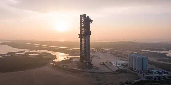
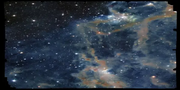
European Space Agency Unveils Stunning Radar Imagery from New Sentinel-1D Satellite
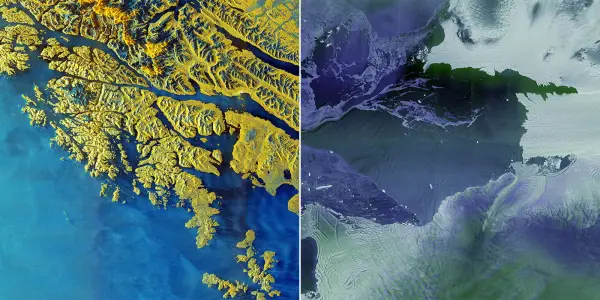
The ESA's Copernicus Sentinel-1D satellite, launched aboard an Ariane 6 rocket, has sent back its first high-resolution radar images, showcasing advanced Earth observation capabilities.
In-depth analysis
New discoveries
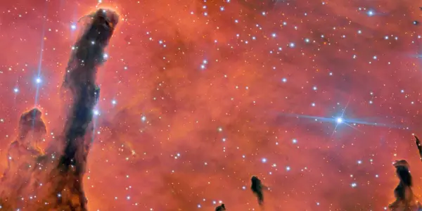
The launch of the Copernicus Sentinel-1D satellite has led to immediate high-resolution radar imagery of key geographical areas, including the Antarctic Peninsula and the Thwaites Glacier. This rapid data acquisition showcases advancements in satellite technology, particularly in synthetic aperture radar, which can penetrate cloud cover and operate in low-light conditions.
Mission updates
Sentinel-1D has successfully transmitted its first images just hours after launch, marking a record for rapid data delivery in ESA's history. The satellite's operational efficiency is being closely monitored as it begins its Earth observation tasks.
Who is affected
The advancements brought by Sentinel-1D have significant implications for scientists, policymakers, and industries that rely on accurate Earth observation data. This satellite aids in monitoring climate change, urban development, and natural disasters, impacting global efforts to address these critical issues.
Next steps
Following its successful launch, the ESA will focus on optimizing Sentinel-1D's operational capabilities. Continuous monitoring and analysis of the data gathered will be essential for enhancing the Copernicus program's contributions to global Earth observation initiatives.
Did you know?
Why we should care
The launch of the Copernicus Sentinel-1D satellite enhances our ability to monitor Earth in real-time, impacting daily life in profound ways. It aids in disaster response, urban planning, and environmental protection, allowing communities to prepare for floods, assess land use, and track climate change. This technology equips governments and organizations with essential data to make informed decisions that protect our planet and its inhabitants.
The universe's unsolved mystery
Despite advancements in Earth observation, the full extent of our planet’s changes remains enigmatic. Questions linger about how rapidly climate phenomena evolve and their long-term effects on biodiversity. Sentinel-1D can provide critical data, yet the challenge lies in translating this information into actionable strategies that can effectively mitigate environmental crises and foster sustainable practices.
The person who looks at the stars
Meet Clara, a high school geography teacher in Bremen, Germany. Inspired by her childhood fascination with the cosmos, she now incorporates satellite imagery into her lessons, captivating her students with real-time data about their planet. The recent images from Sentinel-1D spark her creativity as she encourages her class to explore the implications of climate change. For Clara, the satellite is more than just technology; it represents hope, empowering the next generation to take action for a sustainable future. Her students, once passive observers, now feel connected to global challenges, understanding that every image tells a story about their world.

Foundation Season 3 Hints at Deeper Asimov Themes...

China's Mars Orbiter Captures Image of...

Exploring Alternatives to the Meta Quest 3 Elite...
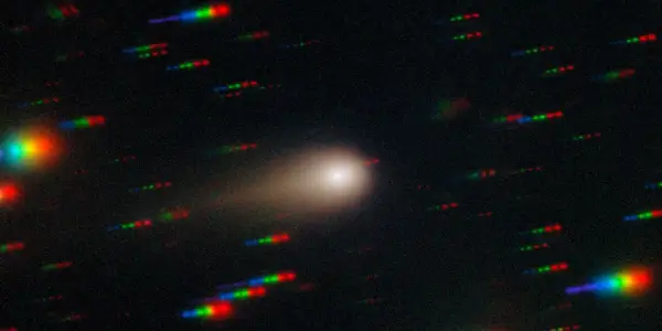
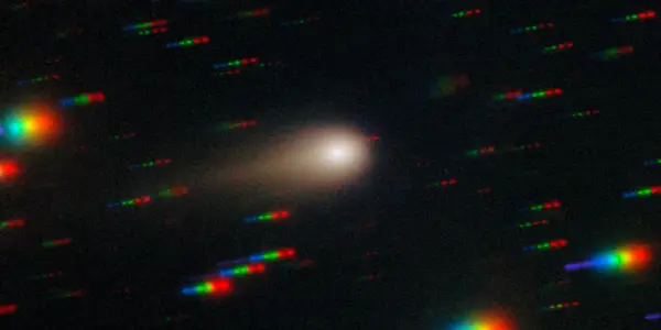
Interstellar Comet 3I/ATLAS Approaches...
Collaboration Between Exoplanet Researchers and...

SpaceX Faces Challenges in Meeting NASA's 2027...

Boeing's Upcoming Starliner Mission Set for April...
European Space Agency Unveils Stunning Radar...

Samsung's Galaxy S26 Ultra Set for Significant...
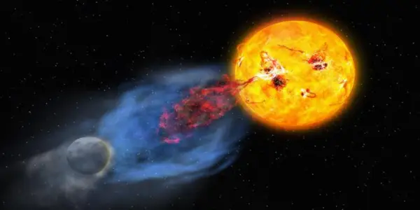
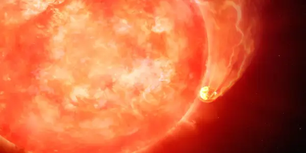
Intense Solar Storms Could Ignite Life on...
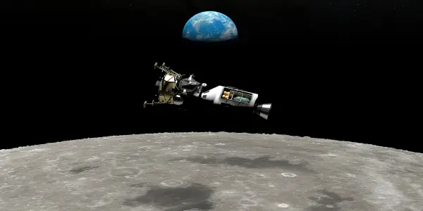
NASA's Artemis 3 Moon Mission Delayed to 2028 Due...
Enhance Your Weather Preparedness with Weather...
Astronomers Uncover a Rapid Star-Forming Galaxy...
New Simulations Shed Light on the Enigmatic...

Unusual Wind from Neutron Star Challenges Space...
Hawaiian Students Honor Gemini North Telescope's...

Ancient Galaxies: A Chaotic Early Universe...

Urwerk Unveils Limited-Edition 100V 'LightSpeed'...

Discovery of a Planet Formation Zone Beyond...
Recent Studies Explore Potential Exoplanet in...

Top Black Friday Smartwatch Deals Worth...

Italian Producer Plans Historic Film to Shoot in...
Astronomers Converge in Phoenix for AAS 247: A...
Euclid Space Telescope Discovers Hidden Stars in...
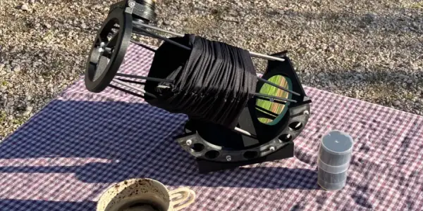
Innovative Portable Reflecting Telescope...
Assessing the Financial Impact of NASA's Apollo...
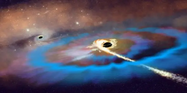
Astronomers Capture Unprecedented Black Hole...
NASA's Campaign to Monitor Interstellar Comet...

Portal Systems Aims to Revolutionize Spacecraft...

Astronomers Uncover Evidence of Aging Stars...
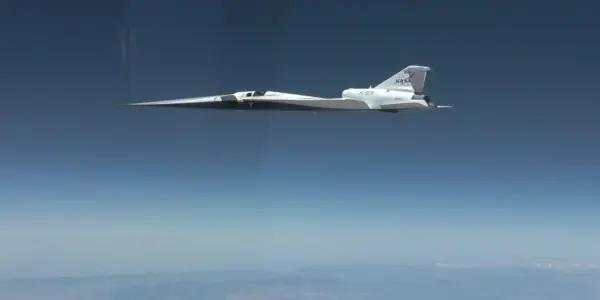
NASA's X-59 Achieves Historic Supersonic Flight
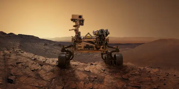
Unraveling the Mysteries of Mars: Recent...
Potential Alien Disclosure May Trigger Bitcoin...
Apple Introduces Emergency SOS via Satellite in...

Lenovo's Legion Tab Gen 3 Sees Significant Black...
Meteorite Fragment May Have Impacted Houston Home
Breakthrough in Milky Way Simulation Using AI...

Mapping the Invisible: Astronomers Uncover Dark...