Harmonized Landsat and Sentinel-2: A New Era in Earth Monitoring
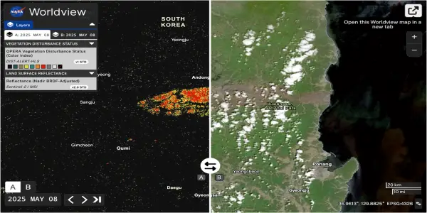
Discover how the Harmonized Landsat and Sentinel-2 initiative revolutionizes Earth monitoring, enhancing data collection for urban, agricultural, and environ...
In-depth analysis
New discoveries
The Harmonized Landsat and Sentinel-2 (HLS) project has unveiled significant advancements in land monitoring capabilities. HLS Version 2 offers a remarkable global median repeat frequency of one day, enabling researchers to observe rapid changes in land use and environmental conditions, which is crucial for addressing climate change and managing natural resources effectively.
Mission updates
The HLS initiative has successfully integrated data from Landsat 8 and 9 with Sentinel-2A and B, enhancing the quality and coverage of land change monitoring. This collaborative effort is essential for improving satellite data accessibility and usability.
Who is affected
Farmers, researchers, and land managers are among those impacted by the advancements in satellite monitoring provided by HLS. The U.S. Department of Agriculture, for example, leverages HLS data to monitor crop emergence, facilitating better agricultural planning and resource management.
Next steps
Moving forward, the HLS project aims to further refine its data products based on user feedback. Continued collaboration among federal agencies will enhance the application of satellite data in various fields, including environmental monitoring and disaster response.
Did you know?
Why we should care
The Landsat and Copernicus programs are vital for understanding our planet's health and managing resources effectively. With climate change accelerating, detailed monitoring of land changes influences everything from urban planning to disaster response. Farmers rely on timely satellite data to optimize crop yields, while city planners use it to address development challenges, directly impacting food security and sustainable growth.
The universe's unsolved mystery
Even as satellite technology advances, the quest for perfect real-time observation of Earth's dynamic landscape remains elusive. Rapidly changing events often slip through the cracks, highlighting the ongoing challenge of balancing technology with nature's unpredictability. This gap urges innovation in satellite design and data analysis, as humanity seeks more precise tools to safeguard our environment.
The person who looks at the stars
Maria Lopez, a high school science teacher in rural Iowa, often finds her gaze drifting beyond the classroom windows. Inspired by the HLS project, she integrates satellite imagery into her lessons, sparking curiosity in her students about Earth and its systems. For Maria, these images represent more than data; they symbolize connection—between students and their environment, and between humanity and the cosmos. As her students learn to interpret satellite data, they grasp the urgency of environmental stewardship, realizing their role in addressing climate change. Maria believes that understanding our planet’s shifts empowers the next generation to make informed decisions, fostering a sense of responsibility and awe for the universe.
Expert Commentary
Ancient Galaxies: A Chaotic Early Universe...
Russian Cosmonauts Conduct Extended Spacewalk to...

Samsung Unveils Unprecedented Black Friday Deal...
SpaceX Achieves 150th Falcon 9 Launch with...
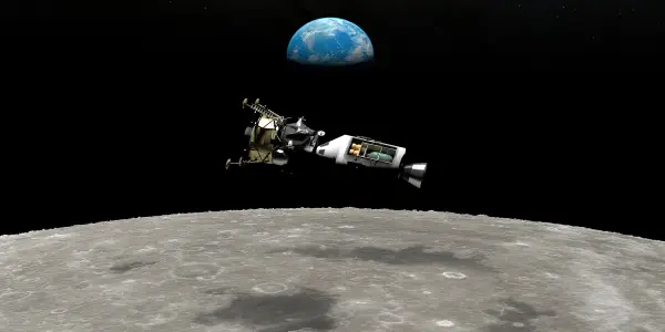
Assessing the Financial Impact of NASA's Apollo...
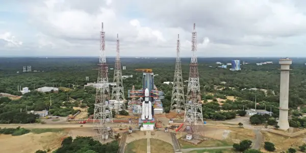
India Successfully Launches CMS-03 Military...
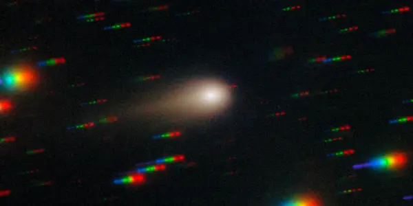
NASA's Campaign to Monitor Interstellar Comet...
Discovery of a Planet Formation Zone Beyond...
Interstellar Comet 3I/ATLAS Approaches...
Webb Telescope Reveals Unprecedented Cosmic...

SabreSat: An Innovative Air-Breathing Satellite...
Exploring the Composition of Cosmic Voids
James Webb Space Telescope May Have Detected the...
James Webb Space Telescope Discovers Ancient...
NASA's Ambitious Timeline for Human Exploration...

Unistellar eQuinox 2 Smart Telescope Sees...
Blue Origin Faces Major Setback as New Glenn...

Urwerk Unveils Limited-Edition 100V 'LightSpeed'...

Daily Roundup: November 10, 2025 – Advancements...

Satellite Imagery Reveals Extensive Damage Across...
Jupiter's Moons Io and Europa to Cast Shadows...
Astronomers Identify Three Earth-Sized Exoplanets...
Apple Introduces Emergency SOS via Satellite in...
Euclid Space Telescope Discovers Hidden Stars in...

NASA's X-59 Achieves Historic Supersonic Flight
Astronauts aboard the ISS Capture Stunning Images...
James Webb Telescope Identifies Rapidly Growing...
Young Canadian Astronomer Identifies Two...

X-Men Return to Education in Upcoming Comic...
Intense Solar Storm May Illuminate Skies Across...
Potential Alien Disclosure May Trigger Bitcoin...
Artemis 2 Astronauts Safely Return After Historic...

This Week In Space Podcast: Episode 187 Explores...
European Space Agency Unveils Stunning Radar...
Charlotte: The Lunar 3D Printer Poised to...

Exploring Alternatives to the Meta Quest 3 Elite...
SpaceX Set to Launch NASA's Pandora Exoplanet...
Hubble Telescope Unveils Enigmatic Galaxy NGC 2775